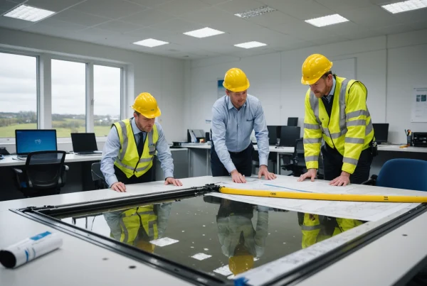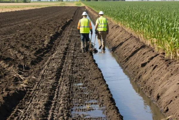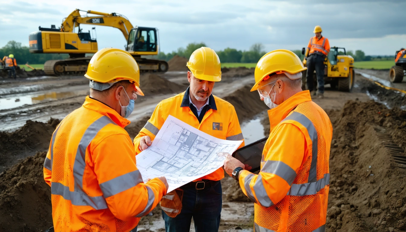
Geotechnical information sits at the root of nearly every civil engineering decision, from foundation design and tunneling strategy to slope stability, pavement performance, and long-term asset resilience. Yet across many projects, valuable ground investigation data remains fragmented, inconsistently formatted, or locked away in separate reports that are difficult to reuse.
The proposed geotechnical data bill aims to change that by making subsurface information more accessible, standardized, and useful across the infrastructure lifecycle. If implemented well, it could reduce duplicated investigations, improve design confidence, limit avoidable construction risk, and unlock major savings for public and private sector projects.
The Hidden Cost of Poor Ground Data Management
Ground risk is one of the most persistent sources of uncertainty in civil engineering. Even when project teams carry out detailed site investigations, the value of that information can decline quickly if data is stored in static PDFs, inconsistent spreadsheets, or isolated project archives. Future teams may not know that the data exists, may not be able to verify its quality, or may be forced to commission new investigations that partly duplicate work already completed.
This inefficiency creates costs at multiple stages of delivery. During planning, incomplete knowledge of ground conditions can lead to conservative assumptions, larger contingencies, and limited confidence in route or site selection. During design, engineers may spend significant time reconciling borehole logs, laboratory results, groundwater observations, and historical records that were never structured for easy comparison. During construction, unexpected ground conditions can cause redesign, claims, delays, equipment changes, and safety concerns.
The financial impact is not limited to individual projects. Across a national infrastructure pipeline, repeated data loss and poor interoperability can add up to billions in avoidable expenditure. Roads, railways, ports, energy networks, water infrastructure, housing developments, and flood defense schemes all depend on reliable ground information. When that information cannot move efficiently between owners, consultants, contractors, and regulators, the entire sector pays the price.
Why geotechnical data is often underused
One reason geotechnical data is underused is that it is highly contextual. A borehole log is most valuable when it is connected to location, elevation, sampling method, test results, geological interpretation, groundwater monitoring, and project assumptions. If those elements are separated or recorded in incompatible formats, the data becomes harder to trust and harder to reuse.
Another challenge is commercial and contractual fragmentation. Ground investigations are often commissioned for a specific project phase, and ownership or sharing rights may not be clearly defined. Even when clients are willing to share information, there may be no common digital framework that allows the data to be searched, compared, and integrated into modern design platforms.
How Standardized Subsurface Data Could Transform Project Delivery
A well-designed geotechnical data bill could establish clearer expectations for how ground investigation information is collected, formatted, stored, and shared. Standardization does not remove the need for professional judgment, but it gives engineers a stronger evidence base and reduces the friction involved in finding and interpreting relevant information.
For civil engineering teams, the most immediate benefit would be faster access to reliable historical data. Before commissioning new investigations, project teams could review existing boreholes, trial pits, in situ tests, laboratory results, and geological interpretations from nearby schemes. This would help them refine investigation scopes, avoid unnecessary duplication, and target new testing where it adds the greatest value.
Better data access could also support more accurate early-stage cost estimates. Many infrastructure budgets are set before detailed ground investigations are complete, which means uncertainty is often priced into risk allowances. If designers and cost consultants can draw on richer subsurface datasets from the beginning, they can identify high-risk zones earlier and develop more realistic budgets, programmes, and procurement strategies.
Reducing uncertainty without reducing engineering responsibility
Greater data availability should not be mistaken for a shortcut around site-specific investigation. Ground conditions can vary significantly over short distances, and historical data may have limitations related to age, quality, testing standards, or original project purpose. Engineers would still need to assess relevance, reliability, and uncertainty before using any dataset in design.
However, standardized data makes that professional assessment more efficient. When records include consistent metadata, coordinates, test methods, quality indicators, and revision history, engineers can make better judgments about what information is suitable for reuse. This improves transparency and helps project teams understand both what is known and what still needs to be investigated.
Where the Bill Could Create the Largest Savings
The headline promise of the geotechnical data bill is cost reduction, but the savings would not come from a single source. They would emerge from many smaller improvements across planning, design, procurement, construction, and asset management. In large infrastructure programmes, even modest reductions in uncertainty, rework, duplicated investigation, and claims can translate into very large financial benefits.
Less duplicated ground investigation
Ground investigation is essential, but not all investigation spending adds new value. In dense urban areas, transport corridors, ports, industrial sites, and utility networks, multiple projects may commission boreholes or trial pits in close proximity without visibility of previous work. If a central or interoperable data system made earlier records discoverable, new investigations could be designed to fill gaps rather than repeat known information.
For example, a rail upgrade passing through an area with previous highway, utility, and building foundation investigations could benefit from historic borehole logs, groundwater readings, contamination observations, and rockhead levels. The project would still need its own targeted investigation, but the initial desk study could be more complete and the fieldwork scope more intelligent. This could reduce unnecessary exploratory holes, shorten procurement periods, and focus budgets on locations where uncertainty remains highest.
Earlier identification of high-risk ground conditions
Many of the most expensive ground-related problems arise when risks are discovered too late. Soft alluvial deposits, variable made ground, abandoned mine workings, karst features, aggressive groundwater, buried obstructions, and unexpected rock profiles can all cause major changes to design and construction methods. When these conditions are identified during concept design, teams have more options. When they are discovered during construction, the options are usually more expensive.
Standardized geotechnical data could improve early risk screening by allowing planners to compare proposed routes, sites, or alignments against known ground conditions. A highway authority could identify areas with compressible soils before fixing an alignment. A developer could evaluate foundation risk before acquiring land. A tunneling team could recognize zones of mixed face conditions or high groundwater inflow earlier in the design process. These earlier decisions can prevent costly redesign and reduce the likelihood of contractual disputes.
Better allocation of contingency
Contingency is necessary in civil engineering, especially where ground risk is significant. However, poor data often leads to broad and sometimes excessive allowances because teams cannot separate manageable risks from serious unknowns.
This does not necessarily mean every project would carry a smaller contingency. In some cases, better data may reveal that risks are greater than originally assumed.
Implications for Public Infrastructure Clients
Public sector clients may have the most to gain from improved geotechnical data governance because they commission large volumes of work across long time horizons.
A geotechnical data bill could encourage public clients to treat ground information as a strategic asset rather than a one-time project deliverable. This shift would be similar to the way many infrastructure owners now view digital asset data, building information models, and operational performance records.
Supporting long-term asset management
Geotechnical data is not only useful before construction. It can also help asset owners manage performance over decades. Records of soil strength, groundwater levels, embankment materials, slope movement, foundation conditions, and historical remediation can inform inspection regimes and maintenance priorities.
For example, a highway network owner managing embankments across a region could use historic ground investigation records to identify assets founded on weak or moisture-sensitive soils.
Improving procurement and project briefing
Public clients frequently commission consultants and contractors to investigate, design, and build assets in stages. If each stage starts with incomplete data handover, valuable time is lost and risk is transferred inefficiently.
This would give bidders a clearer basis for pricing and methodology. It could also reduce the tendency for ground risk to be pushed down the supply chain without adequate information.
What Standardization Should Include
For the bill to deliver meaningful savings, it would need to address more than the simple publication of reports. A large archive of unstructured documents would be useful, but it would not fully solve the problem.

Consistent location and elevation data
Every geotechnical record depends on accurate spatial information. Boreholes, trial pits, cone penetration tests, monitoring wells, and sample locations must be tied to reliable coordinates and elevation references.
Standard requirements for coordinate systems, vertical datums, location accuracy, and survey methods would help reduce ambiguity. This is especially important where projects cross administrative boundaries, combine historic records, or integrate data from multiple consultants.
Structured test results and metadata
Laboratory and in situ test results become far more useful when they are stored in structured fields rather than buried in report appendices. Parameters such as moisture content, Atterberg limits, particle size distribution, undrained shear strength, standard penetration test values, cone resistance, permeability, chemical aggressivity, and consolidation characteristics should be recorded in consistent digital formats.
Metadata is equally important. Engineers need to know how a sample was obtained, whether it was disturbed or undisturbed, which standard was used for testing, when the test was carried out, and whether any limitations were noted.
Clear quality grading
Not all geotechnical data has the same level of reliability. Historic records may be incomplete, locations may be approximate, testing standards may have changed, and some interpretations may be based on limited evidence.
Quality indicators could show whether records have been verified, whether coordinates are surveyed or inferred, whether laboratory accreditation is known, and whether the data is factual or interpretive.
Digital Ground Models and the Future of Design
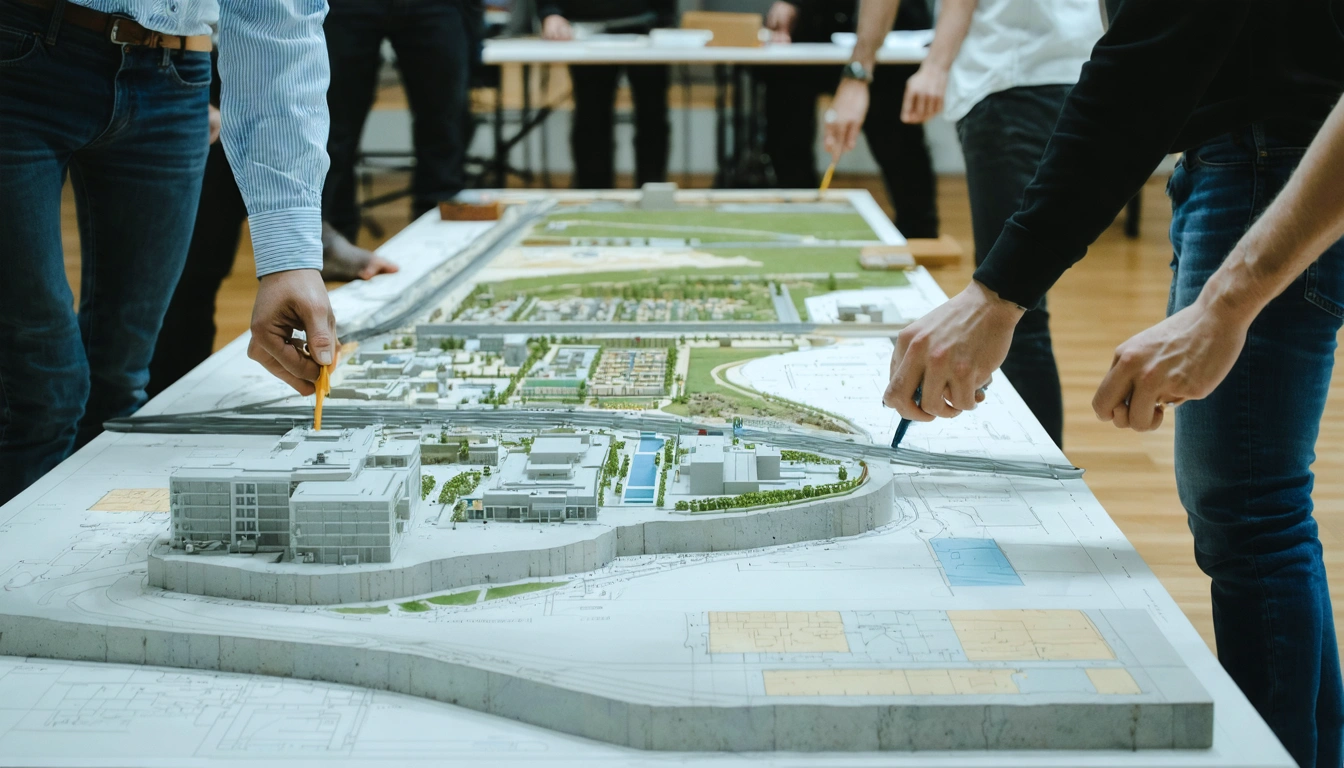
One of the most powerful outcomes of better geotechnical data would be the wider use of digital ground models. These models bring together boreholes, geological mapping, geophysical surveys, laboratory results, groundwater data, and engineering interpretation into a coordinated digital environment.
Digital ground models can support alignment selection, foundation zoning, earthworks design, tunneling assessment, contamination planning, and groundwater risk analysis. They also make uncertainty easier to communicate.
Connecting geotechnical data with BIM and GIS
The bill could accelerate integration between geotechnical datasets, building information modeling platforms, and geographic information systems. This connection would allow designers to assess ground conditions alongside structures, utilities, drainage networks, earthworks, environmental constraints, and construction staging.
For example, a bridge design team could review pile layouts against interpreted rockhead levels, buried obstructions, and groundwater conditions within the same coordinated model used for structural and civil design.
Improving collaboration across disciplines
Geotechnical risk rarely sits neatly within one discipline. It affects structural design, temporary works, drainage, environmental assessment, construction logistics, health and safety, and commercial planning.
This shared understanding can reduce late-stage surprises and design clashes. It can also help non-geotechnical stakeholders appreciate why certain investigations, design changes, or mitigation measures are necessary.